
Featured


70 years ago, these two historic cities were on a similar path. Then one fell into debt while the other was swimming in money. You might be surprised by what they each look like today.
The scale and value of what we’ve sacrificed in order to build parking lots and highways is staggering. Only by understanding that loss can we figure out how to build stronger towns.
Our resident resident GeoAccountant™ holds a webcast with Strong Towns President Chuck Marohn. If you’re interesting in learning more about our mapping process, look no further.
Our maps visualize the shocking disparities in who is actually footing municipal bills in California.
Now, the story of a wealthy family who sold their farm and the developer who exploited an agricultural tax subsidy to keep it all together.
Taxation is a powerful planning tool, whether we want it to be or not.
Let’s reframe the way we look at land. We don’t have to reinvent the wheel, we just have to use the development pattern that has proven itself to grow value over time.
In Minnesota, two cities made entirely of trailer homes show us a different model for affordable housing — one that’s been successfully operating for decades.
Why does Charleston’s quaint downtown have such astronomically high property values?
When a city annexes surrounding land, it’s usually touted as a benefit for residents and municipal budgets. This could not be further from the truth. We have the data to prove it.
Inspired by a post from a local architect I take a look at the comparative height of Asheville and tall things around the world. Along the way I share a little skyscraper history, provide some instructions for doing this kind of exploration, and poke fun at Asheville's "Shelbyville:" Kidding aside, I find this a great way to get perspective on your communty's urban environment.
I am super excited about speaking as part of a group of amazing women at the upcoming CityBuilding Exchange conference in New Orleans, November 15-17. More info on the event here.
This is what happens when you build sprawling homes on Swiss cheese land. Very sad, but a lesson on land use, environmental degredation, and the perils of sprawl.
This morning I read this article in the NY Times about the most expensive decision many of make in our lifetimes: where we buy a house. The article covers the buyers' remorse many have when they trade the city for the suburbs, and discover the harsh reality of auto-dependent, isolated living. This quote struck me solidly in my urban planner heart of hearts:
Yesterday, I read a great article in the NY Times about a guy who is obsessed with dead and dying malls, and creates short films about these malls. Of course, the bizarre, sad wonder and whimsy of these films reminded me of the crazy images my colleague Josh McCarty shares periodically when he is out on site visits for Urban3.
We are super excited to welcome Will Creasy, GIS Analyst, to our staff this month!
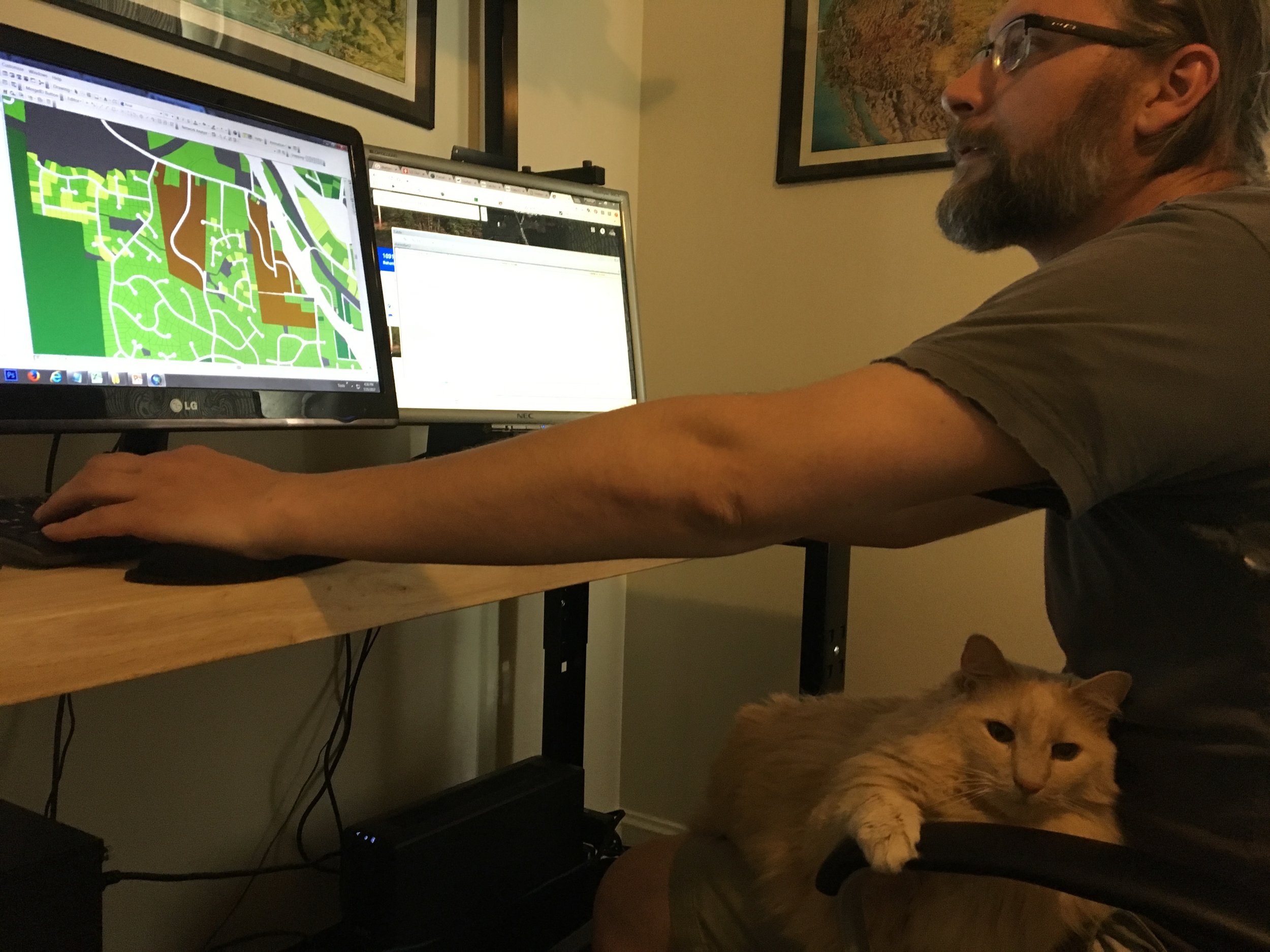
For years I've looked at the vibrant, maybe too vibrant, default color ramps in ArcMap and thought of Easter. This year I decided to use them for something.
A special map for Halloween that maps, not taxable parcels, but the land occupied by the dead in north Asheville.
To go along with the story map, the Iowa Economic Development Authority put together some instructions, resources, and a template to help anyone do their own DIY tax analysis.
Our Story Map report on tax productivity in the Greater Des Moines region, complete with animations and interactive maps, is now open to the public.
Among Planetizen's picks for top ten websites in 2015 were three that I want to call out: Streetmix, Strong Towns, and Story Maps. And not just because they all start with "S."
We're excited to share an interactive 3D tax model as part of our work in the Greater Des Moines area that will be publicly available within the next month. This is a preview of some of the features that will be in that resource.
Have you heard about that town in NC that rejected solar power because it would soak up too much sun and might give people health problems? Well...It turns out they're surrounded by industrial hog farms. Kind of makes the whole "speculative health impacts of solar power" a little bit of a moot point.
Following up my Thanksgiving post about parking on Strong Towns, I take a deeper look at how much parking an American city contains. How much pavement is reasonable? How much can we afford? Would a visitor from another planet be baffled by the immense space we dedicate to our cars?
A video showing the expanding urban footprint of Des Moines between 1875 and today. This is a preview of an upcoming project and online tool.
This gallery is designed to compare the footprints of different American cities at the same scale using satellite imagery. Slide through the thumbnails at the bottom of each image to choose up to four to compare. You can also view each city as a gallery and explore land cover data in greater detail.
Continuing my reflections on CNU23 I share my experiences, observations, and awesome photographs from downtown Dallas and the Deep Ellum neighborhood.
One of the most interesting sessions at CNU23 asked what the role is for conservatives in New Urbanism. Does good design, like good data, transcend political factionalism? Is urbanism perceived as undesirable or unfriendly to conservatives, even when it aligns with their values? Inspired by this discussion, I decided to share my own take, borrowing from the wisdom of both American founding fathers and a long-march communist.
In preparing for his talk at the 2015 GeoDesign Summit Joe reread Design With Nature by Ian McHarg. In doing so he found new inspiration from McHarg's insights. To Joe's excitement over Design With Nature I can personally attest given his daily emails sharing a new quote. In this post he shares some of McHarg's most striking observations and points out how he was either a man before his time, or how we in the present are still stuggling to catch up.
Communities like Cobb County must address the problems that have plagued them from the outset by encouraging the style of development that produces true value per acre.